Your complete destination for Penlink training, with live sessions, on-demand modules, and certifications designed to give professionals the tools and confidence to succeed in real investigations.
Using Precision Location Information To Track Targets
Date Posted: August 23rd, 2024
Typical forms of location information only provide so much to law enforcement working to track targets during an investigation. Cell towers, call-detail records, and pen-register data can provide great information on targets’ whereabouts, but the ranges can be vast and imprecise, and data dumps can lag. Moreprecise location information and mapping with the help of PLX can help pinpoint targets’ positions with extreme accuracy.
Plugging precise location information from Google, Snapchat, Facebook, and EXIF data into PLX can show law enforcement locations with accuracy at just a few meters, compared to up to 3000 meters with other traditional sources of location information, like cell tower pings. Combine that with the frequency at which this information is received—every few minutes or less—and law enforcement can map a target traveling down a highway.
“It’s pretty powerful,” said Sydney Wieseler, Senior Software Support Analyst at PenLink. “It’s hard to say that a target isn’t in a location when you’re getting their GPS coordinates multiple times a minute with this small a radius.”
This information, which requires a search warrant, contains dates, times, latitude, longitude, and other pertinent data. If a search warrant isn’t possible, law enforcement can obtain IP address information for phone numbers through Verizon and T-Mobile, and from Facebook, Google, and Snapchat accounts, with a subpoena.
Wieseler said that information from IP addresses can be invaluable to tracking a target.
“In conjunction with traditional forms, we need to broaden our minds a little bit when it comes to locations and start looking at emails, attachments, IP sessions, and messages for some of that location information,” she said.
The advantage of loading IP addresses into PLX is that it supports IP location databases like IP2Location and Net Acuity. This allows for the detailed mapping of a target’s exact location based on IP address information.
“We want to analyze the data we’ve collected, find answers, and make connections based on the location information that has been collected,” Wieseler said. “We’ll want to present those answers and connections in a meaningful and efficient way.”
That’s where PLX comes in, providing the user-friendly platform to track targets, stop criminal activity, and provide evidence for convictions with high-quality, accurate mapping technology.
Law enforcement and security teams face growing pressure at high-profile events. This webinar covers how OSINT supports pre-event planning, real-time awareness, and post-event investigations.
EXCERPT:
Penlink CEO Peter Weber shares the company’s commitment to responsible technology, lawful data use, and the mission that has guided nearly 40 years of work alongside law enforcement.
Intelligence teams face an overwhelming volume of data at large-scale events. This webinar covers the full intelligence cycle, from pre-event risk assessment to real-time monitoring and post-event investigation.
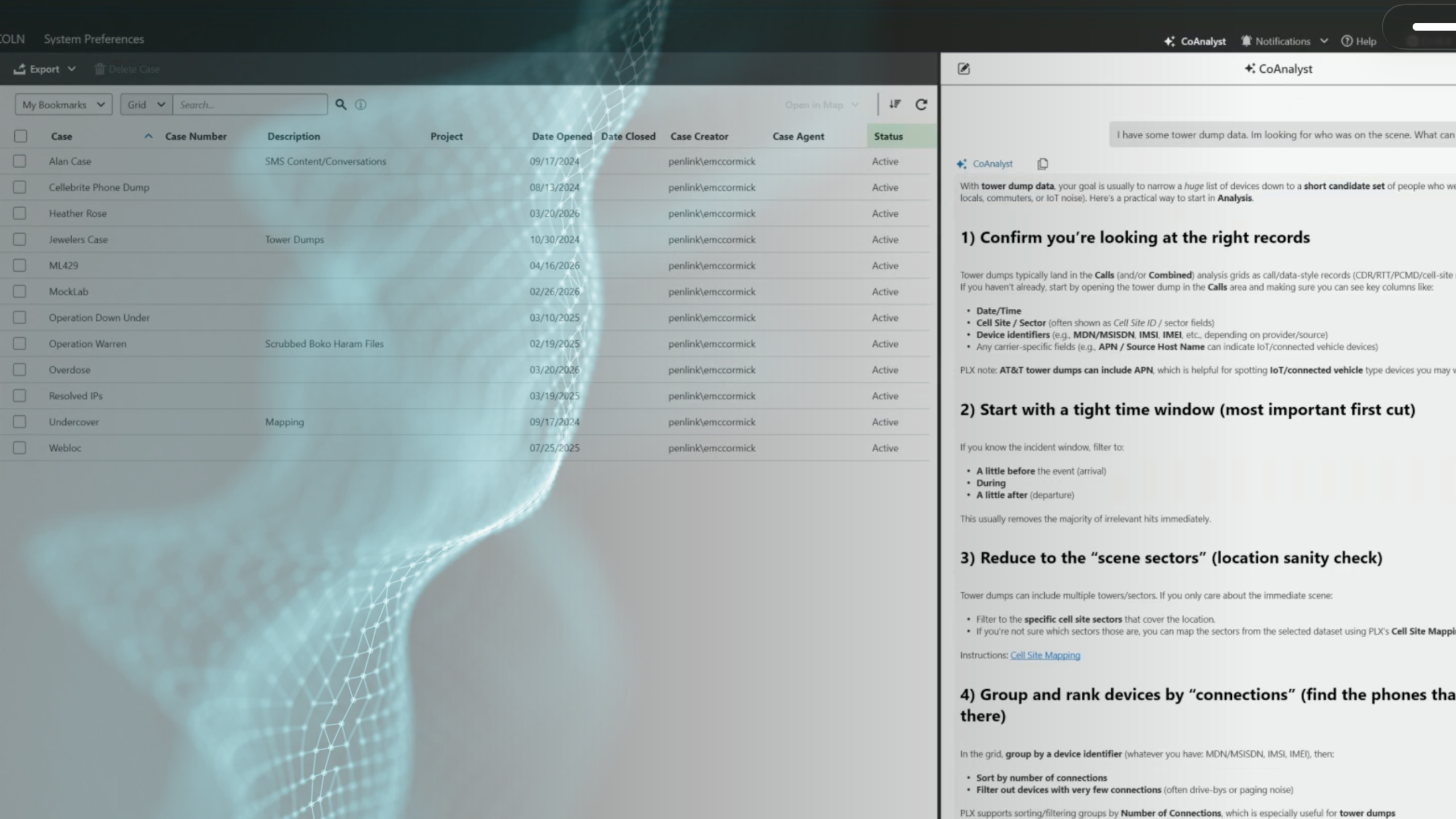
Investigators face more data than ever. CoAnalyst for PLX brings generative AI directly into PLX, helping agencies move faster from raw data to actionable insight.
The Department of Defense is facing more data, more tools, and more complexity. This report shows how a unified OSINT platform delivers faster, smarter defense intelligence.
Penlink was recently featured on Fed Gov Today’s The OSINT Edge to discuss how open source intelligence is changing the way agencies detect and respond to cyber threats. Here is what that conversation covered.